Heritage mapping in open space planning
Historic layers of parks and recreation grounds: how heritage was recorded and weighed in open space decisions.
The Common Ground editorial deskPublished 5 min read
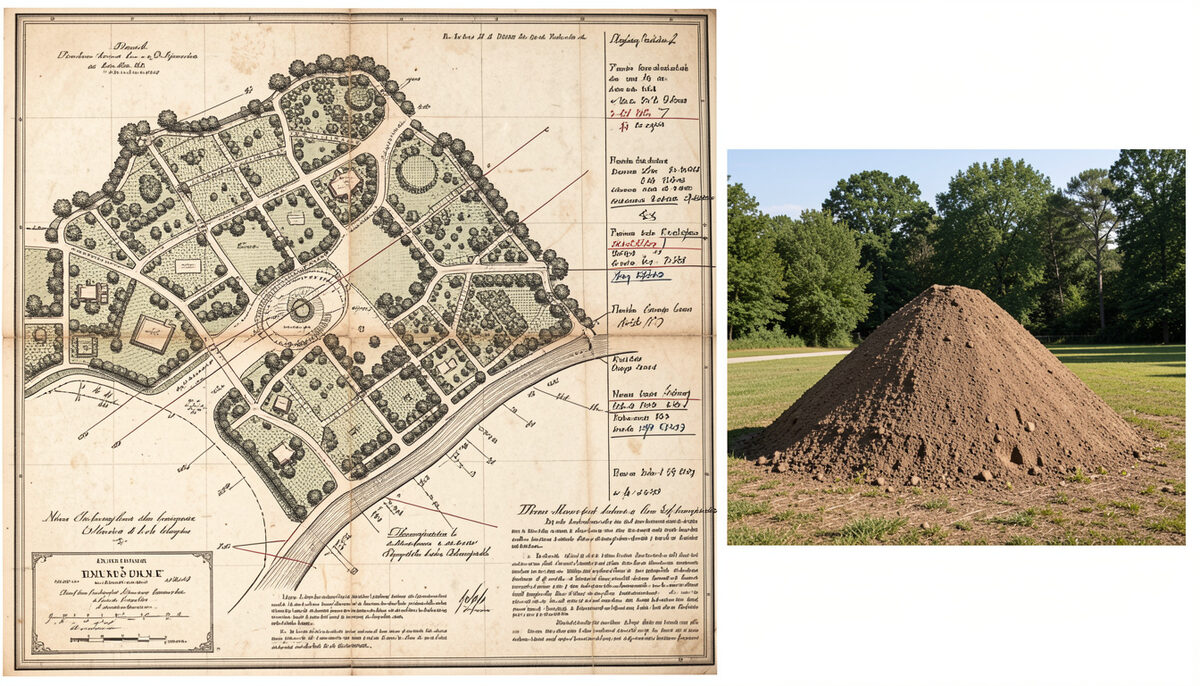
Every park and open space carries a history. The bowling green may sit on land once used for allotments; the bandstand may mark a site of Victorian civic ambition; the wide grass slope beside the river may be a castle motte raised in the eleventh century. Heritage mapping is the practice of recording these layers systematically, so that when a council writes an open space strategy, the historic significance of each site is known before decisions are made about its future. It is the difference between managing a space as an anonymous patch of green and managing it as a place with a documented past.
The technique sits at the junction of two disciplines: the assessment of open space for planning purposes, and the study of local history. Ashley Godfrey Associates, a planning and leisure consultancy, has developed heritage mapping as part of its wider practice, often working with a specialist heritage associate. The approach treats historic evidence as a layer of information about a site, comparable in kind to its size, its accessibility or its ecological value.
What heritage mapping records
A heritage map of a park or open space typically records several kinds of historic layer:
- Designed landscapes. Many public parks were laid out deliberately in the nineteenth and early twentieth centuries, with intended views, tree planting, paths and structures. Recording the original design allows later alterations to be judged against it, and significant features to be protected.
- Wartime and temporary uses. Parks were frequently pressed into service during the world wars, as allotments, drill grounds, prisoner-of-war camps or sites for temporary buildings. Traces of these uses sometimes survive in earthworks, layout or documentation.
- Structures and features. Bandstands, shelters, drinking fountains, gates and pavilions carry social history and are often the features local people value most.
- Memorials and commemorative planting. War memorials, commemorative avenues and named gardens form a formal record of community remembrance within everyday open space.
- Archaeological and ancient remains. Some sites contain scheduled monuments or buried archaeology, which carry statutory protection and constrain what can be done on the ground.
Why it matters in open space strategies
An open space strategy has to make judgements: which sites to protect, which to enhance, which are surplus to requirements. Those judgements are better made when the heritage value of each site is on the table alongside quantity, quality and accessibility. A site that scores modestly on facilities may nonetheless be irreplaceable because of its historic significance; conversely, knowing the history of a site can prevent well-intentioned improvements from damaging the very features that give it meaning.
Heritage information also strengthens the case for funding. Applications to heritage bodies and lottery funders generally require an understanding of what a site is and why it matters. A documented historic layer gives regeneration and restoration projects an evidence base, and gives local communities a narrative that sustains support over the long life of a project. Heritage mapping therefore connects naturally to the wider assessment of parks and open space planned properly, and to the mapping of open space and catchments that underpins most strategies.
The sources used
Heritage mapping is documentary work. The principal sources include:
- Historic Ordnance Survey maps. Successive editions of the six-inch and twenty-five-inch maps show how a site's layout, boundaries and features changed over decades, revealing lost paths, removed buildings and shifts in use.
- Local studies collections. County record offices and local studies libraries hold photographs, sale particulars, council minutes, postcards and newspapers that record how a park looked and was used.
- National heritage records. The lists of scheduled monuments and historic England's records of the historic environment provide statutory designations and descriptions; Historic England publishes these online.
- Local knowledge. Consultation with local people, societies and long-standing users often supplies detail that no archive holds, particularly about twentieth-century use. This fits with established practice in community consultation, where group tasks and workshops can draw out memories of a site's past.
Taken together, these sources allow a layered picture to be assembled: the site as designed, the site as altered, and the site as remembered.
An archived example: Bury Mount, Towcester
The consultancy's archived work on Bury Mount in Towcester illustrates how heritage mapping leads into practical outcomes. Bury Mount is an eleventh-century castle motte at the centre of the Roman town of Towcester, and a scheduled ancient monument. By the time work began it had suffered badly from erosion, was overgrown and neglected, and carried no acknowledgment or interpretation of its historic significance.
Ashley Godfrey Associates, working for South Northamptonshire Council, prepared an audience development plan, a feasibility study and an options appraisal for the site's future. Local people and interested parties were consulted on the options, and the recommendation that emerged from this work was that Bury Mount should become a local recreational space, its heritage interpreted rather than fenced off from the town that had grown up around it.
The restoration was carried out as part of the Towcester town centre regeneration project, and the site was opened by the Duke of Gloucester in April 2010. The project shows the sequence that heritage mapping supports: documentary research establishes significance, consultation tests what people want, and a feasibility study and options appraisal convert both into a deliverable scheme. A fuller account is held in the case note on Bury Mount, and the same consultancy worked on a conservation management plan for Towcester Mill nearby, another historic property whose future depended on understanding its past.
Heritage as part of the evidence base
The lesson for open space strategies is straightforward. Historic layers are not decoration added after the planning decisions are made; they are part of the evidence on which those decisions should rest. Recording designed landscapes, wartime uses, bandstands, memorials and ancient monuments gives each site a documented identity, protects features that would otherwise be lost by accident, and gives communities a reason to care about the spaces they use daily. Councils that build this layer into their strategies from the outset, using historic OS maps, local studies collections and the testimony of residents, end up with open space plans that describe real places rather than abstract hectares.